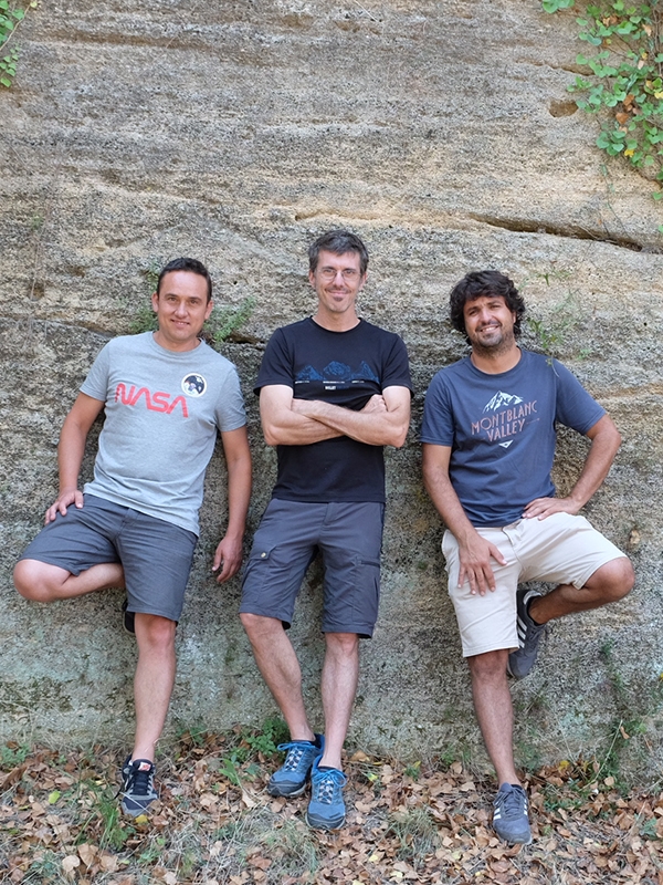

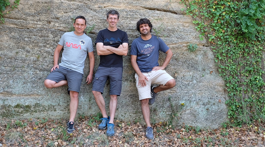
The Tossal Cartographies are, in essence, Oscar Arnau, Pau Fuster and Natxo Segura. Three artisans of cartography, three professionals passionate about their vocation dedicated to the mountains and the territory, to the natural heritage, ethnographic and cultural. With perseverance, technique and with an unequivocal spirit of service to society, have brought forward a magnificent collection of maps that now, from vora 2009, fill a historical void in Valencian cartography. Institutions and people who know and love horseshoe paths, monumental trees, old trails, unique farmhouses, springs and rivers backbone of counties, have also helped make it possible: we are talking about interdisciplinary knowledge, but above all, of the wise people of the land, which treasure great knowledge that is unfortunately starting to become scarce nowadays. SERGIO BELLO
Oscar, now El Tossal Cartographies is more than a reality, but...how necessary is this force, the determination and desire of beginnings! Tell us about that collective passion of the three of you at the Technical School of Topography and what was the spark that started your publishing adventure.
Ò.A.: It is them, it's a collective deria and that's it! It has to be something touched to devote himself to making maps, such a minority product, how demanding while doing so, the great unknown and underutilized, although the paper map is the only format capable of transmission, at a glance, an important volume of information (geographical, cultural, policy…), as well as the spatial relationships between the different elements that make up the landscape. It is the book par excellence of the territory, free reading, information container that you can see at a glance, relate it and interpret it in infinite ways, a book of the territory in another format that allows us to study it, find out, recognize it, and at the same time, when unfolding it on the table, plan excursions and future discoveries, or simply travel on it from the living room at home. I still remember what they said about us at the beginning of some of the very few people who are dedicated to producing maps: ”they won't get out”… and it's not easy, but as you say, determination and desire, as well as the vital need, they lead you to get involved in projects of dubious viability that are the ones that fill you and feed your spirit. In our case, that need led us in an unconscious and individual way to the School of Topography to train in the techniques necessary to shape, in map format, all those experiences lived since childhood, in that open space of nature, with the family and different hiking groups, in which each of us has always found ourselves in fullness, free, happy, and that in some way has shaped us as the people we are, i mean, in the mountains in general and in our mountains, in particular. I also imagine that the act of taking the atlas when you were sick as a child instead of the comic book or that ball of the world with a light inside that accompanied us in the room… A mixture of circumstances that with that determination, desire and misunderstanding, and the non-existence of own hiking cartography, it led us to start an expensive but enchanting publishing project full of passion and love for our territory.
Pau, tell us about the beautiful and absolutely necessary side of georeferencing such an extension of territory and that gives even more value to the final obtaining of the finished work…
P.F.: The part of going to the countryside alone, doing kilometers and kilometers revising all the previous study you have done for hours the computer is expensive, may be, the most rewarding phase, not counting when we get the printed and folded map. You should know that to start a map we do a kind ofinfostorming (like one brainstorming advertising but instead of ideas with information), a storm of information that we create on the first base of the area that we are going to map. This process takes hours and hours reviewing the bibliography of the area, consulting wikiloc, student historical cartography of the beginning of the last century where they come, for example, all the old horseshoe roads that were then in full swing, classifying communication routes with the most current aerial photographs, adding all the approved trails and other tourist resources... and finally designing the first map with which we will go to the field to check everything we have previously worked on. Then the fieldwork, it turns into a process of discovering the area, of review of all that path we found in a cartography of 1905, of reviewing the existence of that source that appears on the official maps... In short, I would say that it is a phase of connection with the area and with yourself. You are alone in front of a territory that you have to explore. And walk alone on the mountain, with your sandwich, your wine, the fruit and the backpack is an experience we recommend to the whole world. You don't know how much money I save on yoga or any activity we do today to connect with our inner self. In the end, walking alone is what allows us to connect with the area to be mapped. That may sound very bucolic but it is really like that. We try to convey a way of living from the past in our cartographies, and this can only be achieved by establishing such a personal relationship with the area. You are alone with nature, with the universe if you want. A unique and even more rewarding experience if we don't forget that we are there looking for and confirming everything we have previously seen on the computer screen. Find that lost source that appeared documented in a book, the same path that our ancestors walked in the past, it makes you connect on a higher level. And finally, we must not forget that after that phase of walking alone, of review, recognition of the area we are going to map, comes a phase in which we are accompanied by the knowledgeable people of the territory. People you have been meeting during the phase of walking alone. Because when you just walk, you go to the village bar, you talk to the old people who know the territory like the back of their hand, that they know you. Trusting you. These are the people who have lived (even suffered) the territory, that for centuries have drawn the human landscape that our mountains hide, those people who with their sacrifice of making charcoal during the week, day and night in the mountains, of going to get water at the source every day for their sustenance, they have given us a better present, more comfortable. Definitely, maps that we aim to humbly help to be aware of what our ancestors have gone through and thus value the present and be able to draw a better future, kinder and more respectful of the environment and people.
Nacho, You have already managed to publish many maps, but there are still some left. What are the next projects that will see the light of day , and when?
N.S.: We can say that we have a handful of maps that cover the territory, nine orographic sets (the Tenancy of Benifassà, The Ports I, Palm Desert, Serra d'Espadà, Sierra Calderona, Upper Turia, Serra de Mariola, la Serrella and Font Roja-Carrascqueta) and others 17 of municipal term. Besides, several projects are underway (Penyagolosa, the Serra d'en Galceran or the Serra de Corbera) that will see the light in an undetermined time… we say this because the development of these projects is very expensive and difficult to quantify… they are deep works of information collection where we try to involve the people who know the territory as they said before and try to give it a hiking look for use in the mountains. In the end, what conditions us the most is that we are a small project where we are ”auto” to: cartographic self-producers, auto-editors, self-distributors. But we still do it, making maps which is our main goal, although also, recently, we got involved in the sale online through the website eltossalcartografies.com, the band, of course, from distribution to specialized bookstores and other suitable places. And in a new tool to provide one more service through a mobile application in order to be able to download our maps offline and navigate with your mobile phone or tablet on the map at the same time as you map the terrain, it is a pass because it allows you to discover all the georeferenced elements guided by the GPS of your mobile device.
Oscar, poetically define the map as a “wonderful lie”. What would you say to someone who likes mountains, but maps are not usually used?
Ò.A.: The map is a big lie, i tant, a falsehood and as our friend and advocate says, Jorge Cruz Orozco, is contradictory and ambivalent, paradoxical cultural artifact made of abstraction, calculation, of wit, which is an intelligent and legitimate form of deception, a form of deception that falsifies reality by bringing a huge portion of land to a piece of paper, a spherical shape in the plane, a three-dimensional reality to a two-dimensional one. But it is a wonderful lie and, definitely, it is the basic tool from which we can outline projects, actions towards the planning of the territory, providing content to digital platforms and geographic information systems, introduce it into technological devices, promote and spread the word in the territory or be the teaching tool that helps to show and know, therefore to be respected, the heritage, both natural and human. To those who like mountains, I would say that a map, in the bottom of your backpack or in your pocket, we take it with us wherever we are and it guides us at any time we may need it in the mountains, that if we learn to read it shows us, it leads us and incites us to the deep discovery of the mapped space in all its human dimension, geographical and cultural… as long as they are maps with content and love, it's clear. The use of maps must be taught, breaking cartographic illiteracy and teaching map reading as a basic tool for knowledge of the territory. A powerful knowledge tool, that is to say of understanding, of respect and love for the territory, which is what we have and which we must preserve for the generations that follow us.